The Air inland flood model for Japan

Contenido multimedia no disponible por derechos de autor o por acceso restringido. Contacte con la institución para más información.
| Tag | 1 | 2 | Valor |
|---|---|---|---|
| LDR | 00000cam a22000004b 4500 | ||
| 001 | MAP20180026430 | ||
| 003 | MAP | ||
| 005 | 20180831140133.0 | ||
| 008 | 180831s2018 usa|||| ||| ||eng d | ||
| 040 | $aMAP$bspa$dMAP | ||
| 084 | $a841.2 | ||
| 245 | 1 | 4 | $aThe Air inland flood model for Japan |
| 260 | $aBoston, Massachusetts$bAIR Worldwide$c2018 | ||
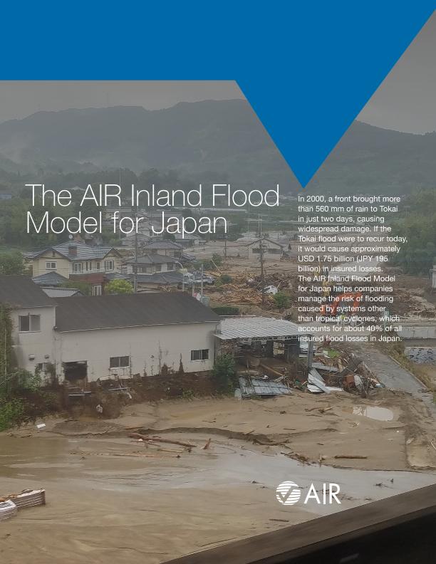
| 520 | $aIn 2000, a front brought more than 560 mm of rain to Tokai in just two days, causing widespread damage. If the Tokai flood were to recur today, it would cause approximately USD 1.75 billion (JPY 195 billion) in insured losses. The AIR Inland Flood Model for Japan helps companies manage the risk of flooding caused by systems other than tropical cyclones, which accounts for about 40% of all insured flood losses in Japan. | ||
| 650 | 4 | $0MAPA20080562922$aInundaciones | |
| 650 | 4 | $0MAPA20080615277$aRiesgos de la naturaleza | |
| 650 | 4 | $0MAPA20080546588$aCiclones | |
| 650 | 4 | $0MAPA20080591151$aGeodinámica externa | |
| 650 | 4 | $0MAPA20080554682$aHidrología | |
| 651 | 1 | $0MAPA20080650919$aJapón | |
| 710 | 2 | $0MAPA20180012587$aAIR Worldwide |

